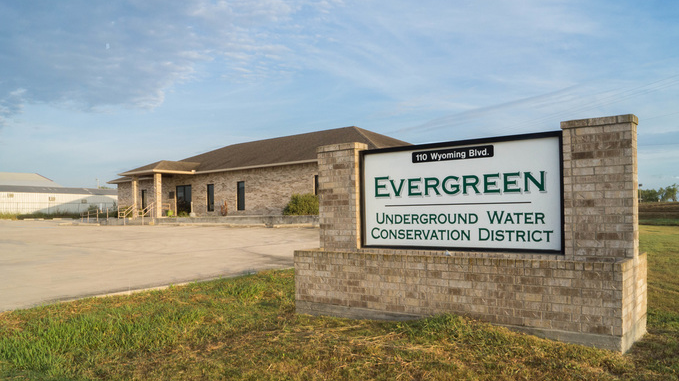
District Overview
The Evergreen Underground Water Conservation District was created in 1965 in accordance with Section 59, Article 16 of the Constitution of the State of Texas, as a two county Groundwater Conservation District encompassing Atascosa and Wilson Counties. On April 6, 1985 , an election was held to ratify the incorporation of Frio County , and elect two representatives to the Board of Directors. On January 17, 1998 the District held an election in Karnes County to ratify a petition to annex Karnes County into the district, and elect two Directors.
Aquifers in the Evergreen
Carrizo
The Carrizo (outcrop) spans across the Northern portions of Frio, Atascosa, and Wilson counties in the district. The aquifer is primarily composed of sand locally interbedded with gravel, silt, clay, and lignite. Although the Carrizo-Wilcox Aquifer reaches 3,000 feet in thickness, the freshwater saturated thickness of the sands averages 670 feet.
The Carrizo Aquifer (subcrop) refers to the portion of the aquifer that lies beneath younger geologic formations, extending downdip from the outcrop areas In the EUWCD, the subcrop portion of the aquifer is confined by overlying clay and silt layers, which limit direct recharge but help maintain artesian pressure. Groundwater in this portion of the aquifer moves slowly toward the Gulf Coast.
Wilcox
The Wilcox Aquifer, part of the broader Carrizo-Wilcox Aquifer system. It consists of sand and clay layers and spans from the northern boundaries of Frio, Atascosa, and Wilson counties to their southern boundaries, also occurring in the northern part of Karnes County
Edwards Aquifer
This aquifer is a significant regional water source, known for its high permeability and spring-fed systems. The EUWCD does manage the Edwards Aquifer outside of the Edwards Aquifer Authority jurisdiction.
Gulf Coast
Within the EUWCD, the Gulf Coast Aquifer is located in Karnes County, where it serves as a key water source. Composed of sand, silt, clay, and gravel, water quality varies, with higher salinity levels in some areas due to natural brine migration and groundwater pumping .
Queen City
It is found in Frio, Atascosa, and Wilson counties. Consists of sand, sandstone, and interbedded clay layers, reaching up to 2,000 feet thick in South Texas. Water quality is generally fresh, with total dissolved solids averaging 300 mg/L in recharge areas and increasing to about 750 mg/L at greater depths.
Sparta
Found in Frio, Atascosa, and Wilson counties. It consists of sand-rich layers interbedded with silt and clay, with a thickness of about 200 feet in South Texas. Water quality is generally fresh in outcrop areas, with total dissolved solids around 300 mg/L, but it declines at greater depths.
Yegua-Jackson
Found in Atascosa, Wilson, and northern Karnes county. It consists of interbedded sand, silt, and clay layers, with freshwater primarily stored in the sand units. Water quality varies, with total dissolved solids ranging from less than 50 to 1,000 mg/L in fresh zones, while deeper portions become more mineralized.
Other
Other groundwater bearing formations such as alluvial deposits, the Mount Selman, Weches, and Cook Mountain formations yield water for a limited number of wells within the Evergreen.

Our Mission
The Evergreen was created by the Texas Legislature to protect and conserve the groundwater resources of Atascosa, Frio, Karnes, and Wilson counties, through local management in coordination with Groundwater Management Areas 13 and 15 (GMA 13 and GMA 15). The District directs its efforts for the conservation, preservation, protection, recharging, and prevention of waste of groundwater in groundwater reservoirs or their subdivisions. The District’s rules and management plan are based on the best available science, within the laws and rules in effect.

